
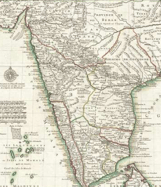
The map of Guillaume de l'Isle is more detailed than a map of Al- Idrisi.
Important Questions on Tracing Changes Through a Thousand Years
Al Idrisi, prepared a detailed Map of Europe in the twelfth century.
Look at the areas in the interior of the subcontinent on the Map. Are they as detailed as those on the coast? Follow the course of the river Ganga and see how it is shown. Why do you think there is a difference in the level of detail and accuracy between the coastal and inland areas in this map?
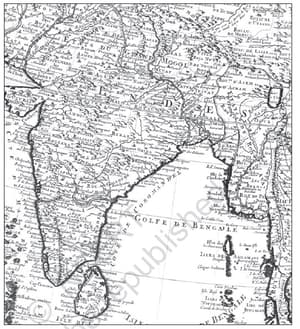
This map given down is sketched by Al-Idrisi in the twelfth century.
What details can be found of the Indian subcontinent from this map of Al-Idrisi?
In the given map cartographer Guillaume de l'Isle shows twenty-first century India.
Compare the Indian extent mapped by Al-Idrisi in CE with that of the present-day map of the subcontinent, listing as many similarities and differences as you can find.
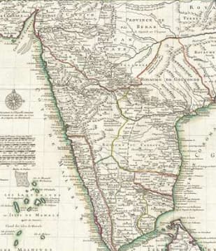
The given map is sketched by a writer, not a cartographer.


