HARD
Earn 100
Why does one feel a greater difference in the duration of day and night between Kanyakumari than in Kashmir?
Important Questions on India - Size and Location
MEDIUM
EASY
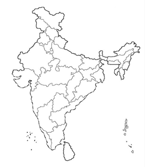
Mark the following place on the map.
- The place is situated on the three seas.

MEDIUM
MEDIUM
MEDIUM
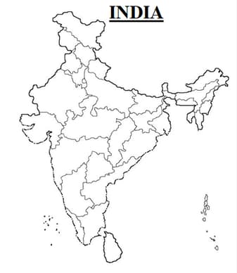
Mark the following with the help of a map.
- The island groups of India lie in the Arabian Sea and the Bay of Bengal.
MEDIUM
EASY
EASY
MEDIUM
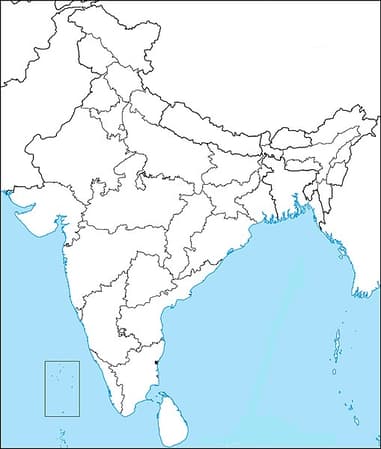
Mark the following with the help of a map.
- The states through which the Tropic of Cancer passes.
EASY
EASY
MEDIUM
Mark the following with the help of a map.
- The northernmost and the southernmost latitude in degrees.

EASY
EASY
MEDIUM
MEDIUM
HARD
EASY
EASY
MEDIUM
Identify the following with the help of map reading.
- The eastern and the westernmost longitude in degrees.